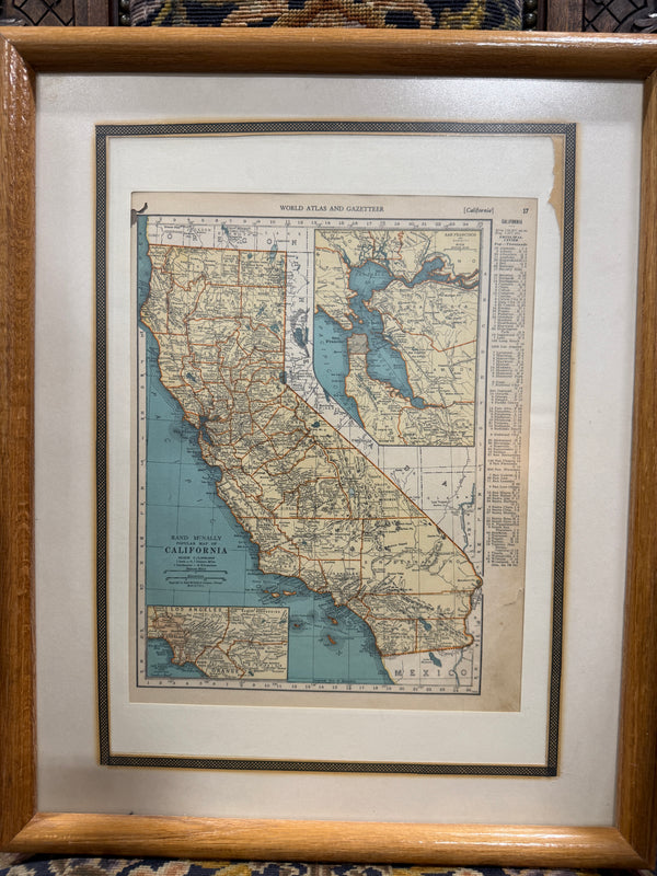
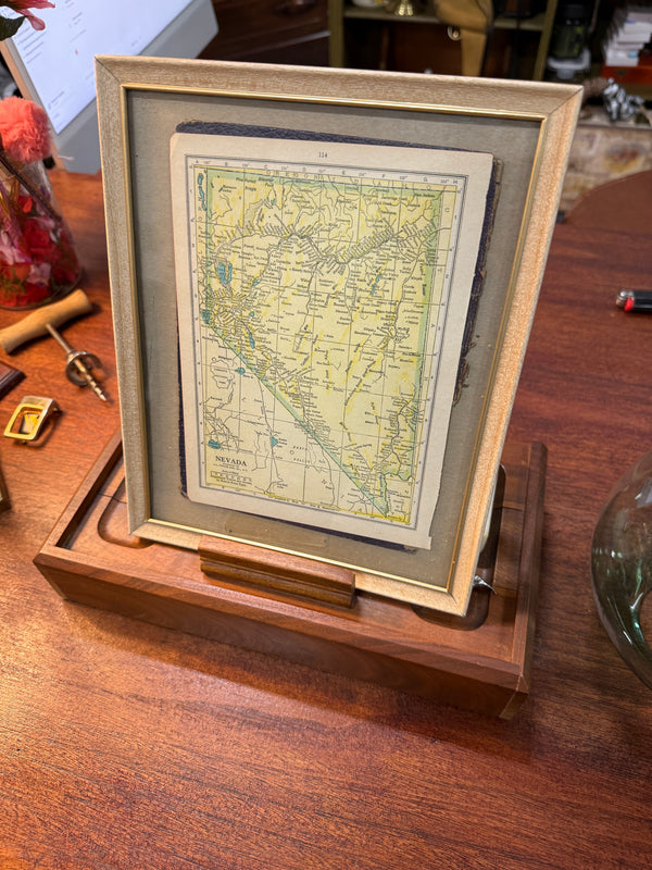
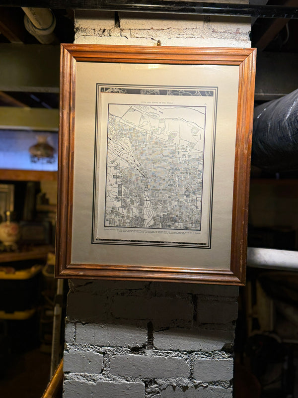
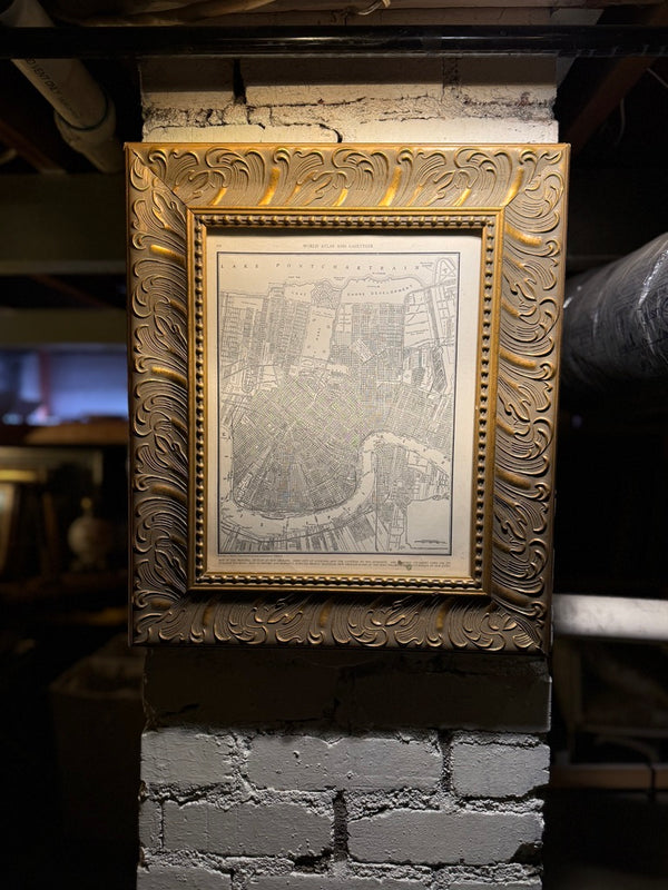
1939 New York State Map from Collier’s World Atlas in Ornate Gilt Frame
Viridian Eclection


The Piece This original 1939 New York State map, published as part of Collier’s World Atlas and Gazetteer, captures a precise moment at the threshold of modern America—when rail lines still structu...
The Piece
This original 1939 New York State map, published as part of Collier’s World Atlas and Gazetteer, captures a precise moment at the threshold of modern America—when rail lines still structured travel, highways were emerging but incomplete, and the nation stood on the brink of global upheaval.
Printed in 1939, the map documents New York in its pre-war configuration, just before World War II reshaped infrastructure, industry, and regional identity. County boundaries, waterways, cities, and transportation routes are rendered with clarity and restraint, reflecting the atlas tradition of combining technical accuracy with visual legibility for public use.
This is not a reproduction or decorative facsimile. It is an authentic period atlas plate, produced for reference and education at a time when maps were tools of understanding rather than wall décor.
The map is presented in a substantial ornate giltwood frame, richly aged and intentionally architectural. The frame’s deep profile, sculpted corner detailing, and naturally crazed gilt surface suggest late 19th- to early 20th-century craftsmanship, lending visual weight and historical gravity to the composition. A deep-toned mat grounds the map and enhances contrast, allowing the cartographic detail to read clearly while preserving its period character.
Together, map and frame form a unified object—both documentary and decorative, precise yet atmospheric.
Design & Construction
→ Original atlas map from Collier’s World Atlas and Gazetteer
→ Publication date: 1939
→ Period color printing with fine linework and legible typography
→ Paper stock consistent with early 20th-century atlas production
→ Framed in an ornate giltwood frame with sculpted corner detailing
→ Naturally aged gilt surface with authentic craquelure and patina
→ Glazed and matted for preservation and display
Every detail affirms its authenticity: from the typography and scale notation to the paper aging and print quality, this map bears the hallmarks of pre-war American cartography—before offset standardization reduced such works to purely decorative objects.
Historical Context
Collier’s World Atlas and Gazetteer was among the most widely circulated American reference atlases of the early 20th century, produced for an audience that valued accuracy, clarity, and authority. The 1939 edition is particularly significant, published at the close of the interwar period and immediately preceding the United States’ entry into World War II.
Maps from this era capture a landscape in transition—industrial, regional, and infrastructural—making them especially compelling documents of American history.
Condition
Very good vintage condition.
The map shows gentle, even toning consistent with age, with no major losses or tears. Printing remains clear and legible. The frame displays authentic surface wear and patina, including fine craquelure to the gilt finish, consistent with age and use. Structurally sound and ready for display.
Why It Belongs in Your Collection
This piece is more than decoration—it is a historical document rendered architectural. It belongs in spaces that value depth and narrative: a study, library, office, or interior layered with antiques and restrained materials.
It appeals to collectors, designers, and historians alike—those who appreciate objects that locate a room not just in style, but in time.
This is an object that feels discovered rather than produced—measured, grounded, and quietly authoritative.
Details
→ Publisher: Collier’s
→ Title: World Atlas and Gazetteer (New York State map plate)
→ Date: 1939
→ Origin: United States
→ Medium: Color-printed atlas map on paper
→ Framing: Ornate giltwood frame with period patina
→ Style: Early 20th-century American cartography
→ Function: Framed cartographic artwork for display
Every piece is packed with professional-grade materials: multiple foam layers, double-boxing, directional and fragile handling labels. For large furniture we use custom timber crating. We photograph packing before dispatch and can provide images on request.
White-glove delivery is complimentary within 100 miles of Reno, NV. National shipping quotes provided at checkout. All shipments are photographed and documented. Damage claims must be filed with the carrier; we provide all documentation needed to support your claim.
Local pickup is available at Viridian HQ (Reno, NV) with 2–4 days notice. Contact us to arrange. Private viewings also available.
All antique and vintage items are sold as described and all sales are final. Each listing includes detailed condition notes and photographs so you can make a fully informed decision. We encourage buyers to ask questions — about condition, dimensions, finish, provenance — before purchasing.
Antiques are irreplaceable and one-of-a-kind. Carrier handling is outside our control once a piece has left our facility, and major carriers including FedEx do not insure antiques. We do everything within our power to ensure safe transit, but cannot accept liability for carrier damage. If damage occurs in transit, we will provide full documentation to support your carrier claim.
Have a question? — we're happy to provide additional photos, condition detail, or discuss the piece directly.